

Our tallish rectangular home is situated in a historic part of Tauranga, known as the Te Papa Peninsula, at the northern end of The Strand overlooking the harbour. Recently, I’ve realised that I haven’t mentioned much about what’s around the nooks and crannies of our relatively short history here in Tauranga.
So, how about I start with one end of our road, literally opposite the Police Station, which is rather ironic.
The following information is a brief overview, as this is a significant piece of land for Māori and Pakeha alike. For more information, click here
Ōtamataha Pā – Monmouth Redoubt
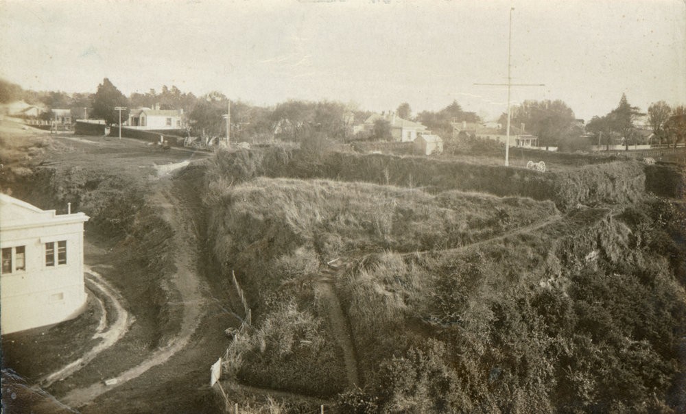
That piece of land, now known as Monmouth Redoubt (restored in 2025), was once a strategic defensive position atop of our sea cliff; the high ground at the northern end of the Te Papa peninsula was part of the populous Ōtamataha Pā was occupied and rebuilt by the 43rd (Monmouthshire) Regiment of Foot in January 1864, after they arrived in Tauranga following service in Calcutta, India.
In 1867 the site became the headquarters of the Armed Constabulary, and in 1886 was transferred to the police. By 1898, the Tauranga Borough Council had taken over the land and converted it for reserve use.
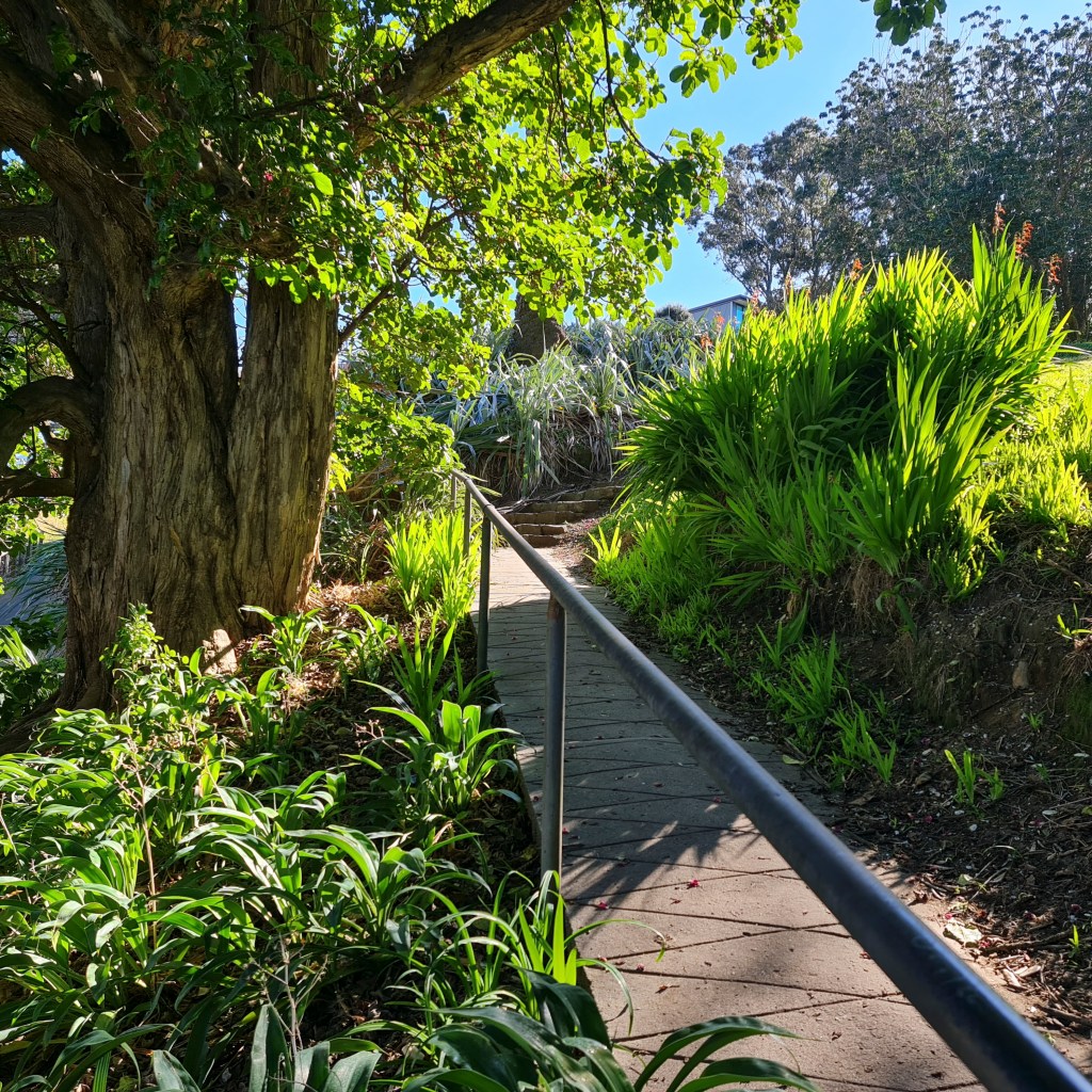
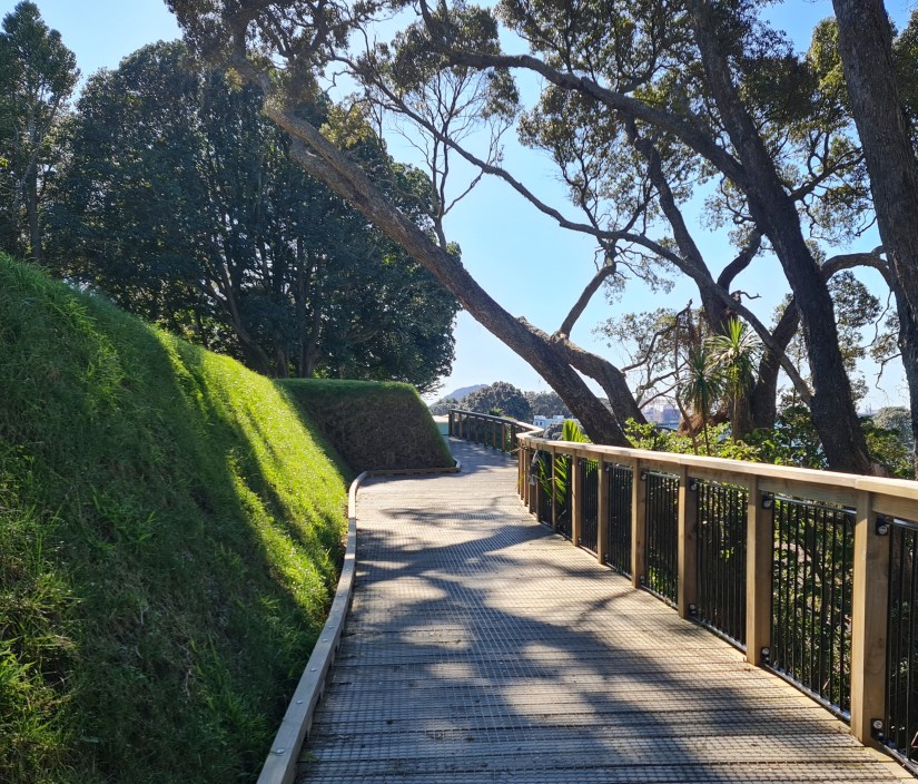
As it looks today – August 2026
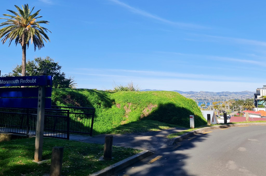
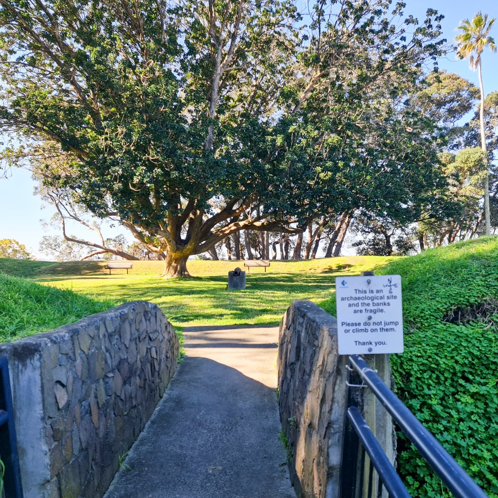
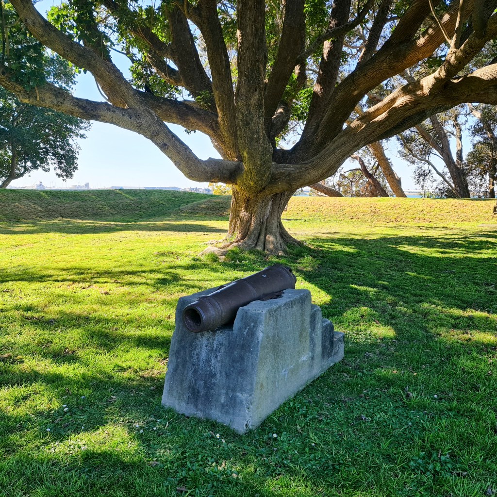
One gun was loaned to the National Army Museum at Waiouru, and others deposited with the Tauranga Heritage Collection. In 1990, the trenches were restored as part of a sesquicentennial project.
The redoubt was also a refuge for women and children should war break out. The Elms (another historic site in our area where I was a guide, did have a secret hiding place under the library’s floor, dug deep enough to hold a few, though it was never used for protection during battles.
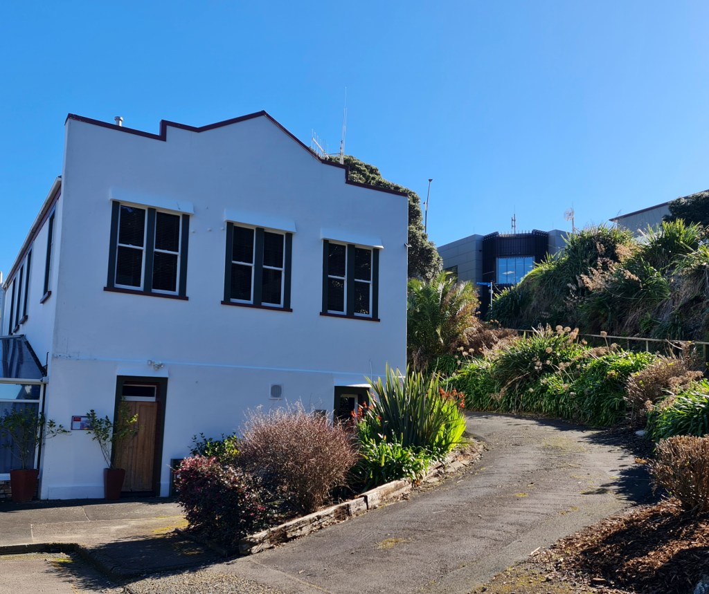
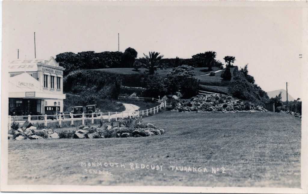
I’ve included the image below to demonstrate the changes. Where the grass is now forms a turnaround area for cars, and a short distance away is a shelter for a historic canoe that, unfortunately, hasn’t been put back. Look closely, and you can see a small part of Mauao to your right in the image; nowadays, this is no longer possible due to buildings, a bridge, and the ever-growing Tauranga Port.
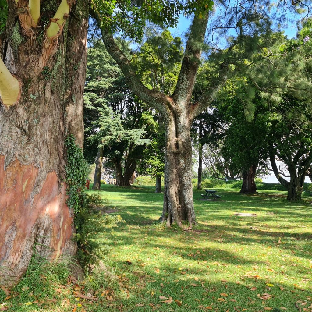
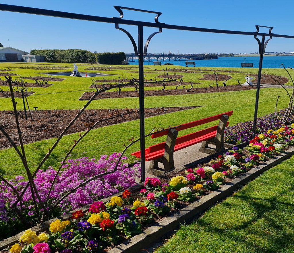
There is chatter, as always, that this land has been returned to local iwi for the construction of a cultural facility. Which I find understandable, though we shall wait and see how that develops, if at all.
Cover photo: Harbour view from new walkway beside Monmouth Redoubt


You live in a beautiful part of the world with fascinating history too. 🙂
LikeLiked by 1 person
Thanks, Shazza we are privileged to live here.
LikeLiked by 1 person
What a wonderful place you live in. I must admit I haven’t heard Redoubt before, had to look it up.
LikeLiked by 1 person
I think we do live in a wonderful place, though not perfect; it’s a slower-paced life.
LikeLike
Slower paced isn’t such a bad thing. Hope you and Les are doing OK and getting the support you both need.
LikeLiked by 1 person
It’s a lovely area where you live, Suzanne. Change and population growth is inevitable but they seem to have preserved and made it accessible xx
LikeLiked by 1 person
Jo, for the amount of land we don’t have a large population compared to most countries, a good thing for a laid back environment and not so great for our economy. Can’t have everything perfect.
LikeLiked by 1 person
What a lovely, and interesting, place to have on your doorstep.
LikeLiked by 1 person
We tend to take things right under our noses for granted until we walk around and view them as a visitor. Being very close to most things makes for an easy living situation.
LikeLiked by 1 person
I wonder what soldiers from the Welsh valleys thought of New Zealand 160 years ago! After India maybe they thought it was similar to home
LikeLiked by 1 person
Perhaps very similar though very sparse in population compared to places like London or port cities. I would imagine for the entrepreneurial types it would’ve been paved in gold. From what I’ve read it was brutal bush to live in for those women who came over to wed those pioneering men who wanted to farm.
LikeLiked by 1 person
I read that the entrepreneurs of today, the world’s richest people are buying up land and building bunker style homes in NZ as a ‘safe’ place in an increasingly troubled world
LikeLiked by 1 person
Good luck to them. Life’s far too short to spend worrying about all the ‘what ifs’. I think the builds are mainly down near Queenstown?
LikeLiked by 1 person
Well you have to have flash restaurants and expensive heli-skiing trips available while you wait for the world to end.
LikeLiked by 1 person
A very pretty spot with some interesting history. They’ve done a nice job with it.
LikeLiked by 1 person
Thanks, Eilene. Having history woven into everyday life, I think, makes us appreciate it and our surroundings.
LikeLiked by 1 person
That looks to be a very pretty place to wander. Thanks for the stroll. Melx
LikeLiked by 1 person
It is a pleasure to have you along for a wander 😊
LikeLiked by 1 person
It’s so beautiful! Thank you for this lovely post.
LikeLiked by 1 person
I’m glad you enjoyed reading it.
LikeLike